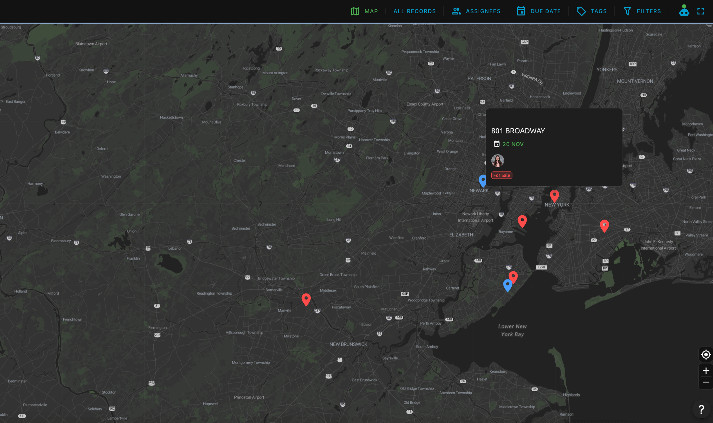
Visualize your data on a world map. Track customers, delivery addresses, and other real-world items with ease.

Track everything in real time.

Always know where your assets, shipments, or team members are. Map view updates automatically as location data changes, giving you instant visibility across your operations.

Live updates

See location changes as they happen with automatic map updates.

Asset visibility

Track vehicles, equipment, and inventory across your entire operation.

Team coordination

Know where your team members are and optimize their routes.

Location data reveals patterns you can't see in spreadsheets. Map view transforms coordinates into actionable insights.

Discover hidden patterns in your data.

Uncover trends and relationships that are invisible in traditional views. Map view reveals geographical patterns that help you make better decisions and identify new opportunities.
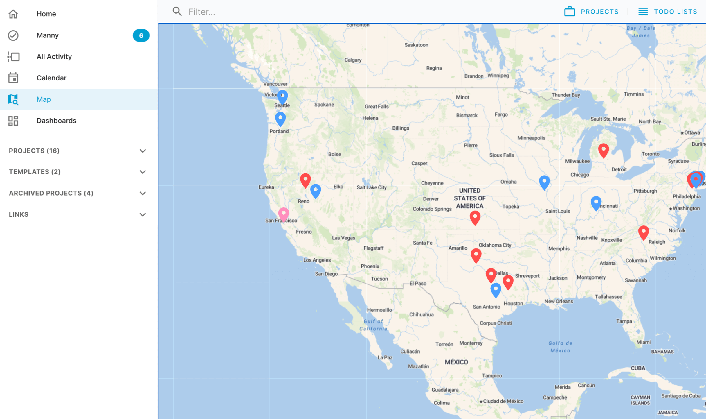
Pattern recognition

Identify clusters, gaps, and trends in your geographical data.

Market analysis

Visualize customer distribution and market penetration across regions.

Strategic planning

Make data-driven decisions about expansion and resource allocation.

Ready to get back to work? Ready to see your data on a map?

Map Features

Map View visually plots records containing location data onto an interactive world map. This geographic perspective delivers unique insights and analysis opportunities that aren't visible in traditional list or table views.
Map View includes zoom controls, filtering capabilities, instant search for records, and real-time updates. You can click on any point to view record details, use filters to show specific data sets, and search for records across the globe.
Yes, Map View fully supports dark mode. The map tiles, interface elements, and all visual components automatically adapt to your theme preference, providing a consistent experience across all viewing modes.
Use the Location custom field type in your record structure. You can enter coordinates manually, paste Google Maps links, or search for locations by name. The field automatically captures and validates location data for map display.

Use Cases & Applications

Common use cases include asset tracking (vehicles, equipment), logistics optimization (delivery routes, supply chains), territory management (sales regions, service areas), and market analysis (customer distribution, market penetration).
Yes, Map View updates automatically as location data changes. When you update coordinates in your records, the map reflects those changes immediately, allowing you to track moving assets, shipments, or team members in real-time.
Map View can display location data from multiple projects simultaneously. This allows you to see connections and patterns across different teams, departments, and initiatives that might not be visible when viewing projects in isolation.
Yes, Blue provides a powerful API that allows you to read location data, update locations, and stream real-time updates to external applications for further analysis, visualization, or integration with geospatial tools.

Technical Details

Blue supports latitude/longitude coordinates, Google Maps links, and location search by name. The Location custom field automatically validates and standardizes location data for consistent map display.
Location accuracy depends on the data source. GPS coordinates provide the highest accuracy, while location search results use standard mapping service accuracy. All location changes are logged with timestamps for audit purposes.
Yes, Blue's API provides full access to location data. You can retrieve location data, update locations, and receive real-time updates to build custom geospatial applications, dashboards, or integrate with external mapping tools.

AI Assistant

Responses are generated using AI and may contain mistakes.

How can I help you?

Ask me anything about Blue or this documentation.

Enter to send • Shift+Enter for new line • ⌘I to open